To properly display this page you need a browser with JavaScript support.
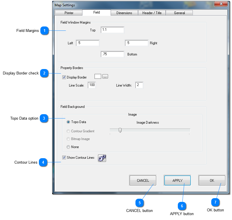
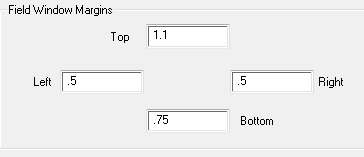
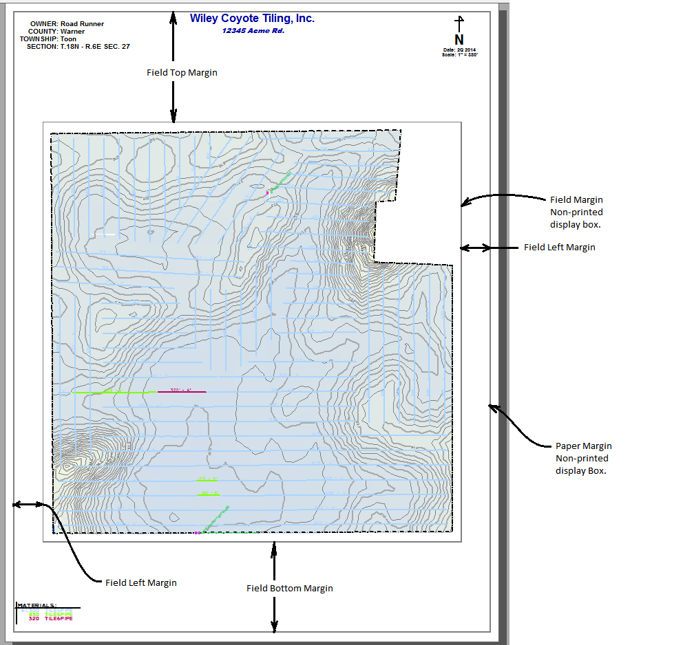
Field Margins
Field margins, control the display location, and size of the map area.
This allows for positioning of the map display on the page.
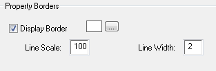
Display Border check
When a property or combined border type as been created, this controls the printed output of these borders.
Check to display (print) the borders.
Border color
displays current border color
opens color selection window to select color
The scale of a border line, in feet.
A larger line scale
A smaller line scale
The line width in feet.
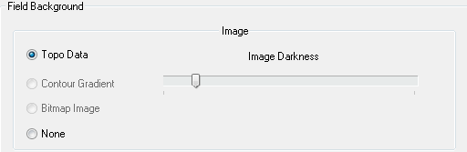
Topo Data option
Selection of background image and Darkness.
Current version supports only a background image using the colored topo data or no image (NONE). Use the slider bar to increase image darkness as desired.
Contour Lines
Check to show contour lines.
Click to open Contour Settings window.
TileLogic Office saves settings for contour lines separate for both map view and printing output.
CANCEL button
Exits without changes.
APPLY button
Apply changes, update preview, but do not exit.
OK button
Exits, and applies changes (if any) to the map preview.

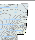 A larger line scale
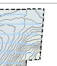 A smaller line scale