To properly display this page you need a browser with JavaScript support.
TileLogic
TM
Menu
Search
Search
Search
TileLogic Office
USER INTERFACE
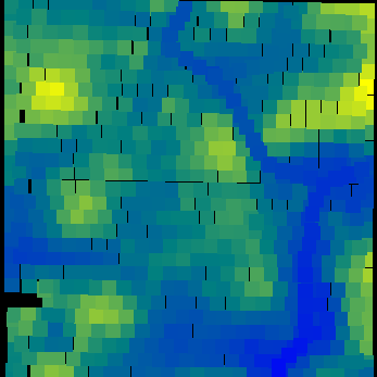
TileLogic Office window
File Menu
Overlay
← Previous page
Next page →
©
2013, White Barn Tech
TileLogic Office
User Guide - Overview
USER INTERFACE
TileLogic Office window
Toolbar
Field Notes window
Report Preview window
Layer Window
Layer Properties window
File Menu
Open
Export
Shapefile: Shapes and data
Overlay
Import Text File Data window
Options Menu
Settings "Def Paths" window
Settings "Prev. Opts" window
Help Menu
Translate window
SCRIPTED SETUP FILES (Advanced)
TLuser.txt
LICENSING
License Agreement
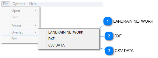
Overlay
LANDRAIN NETWORK
Overlays a Landrain
TM
network file. Useful for lay out, previewing, or can be exported to
ESRI shapefiles
when overlaid.
Top
DXF
Overlays a DXF file. Landrain
TM
can export DXF's with all information, as well as most CAD programs. Handy to overlay as-builts when adding to a tile system.
Top
CSV DATA
Opens a
data import window
to import raw coordinate data. Useful for incorporating other survey data from other sources.
Top
The contents of Overlay
Import Text File Data window