ESRI Shapefiles are somewhat of an "odd duck", in that, they are not one file, but rather multiple files. Each file with the extension ".shp" can contain one shape type, such as a polyline or point. If that's not confusing enough, for each ".shp" file, there is a corresponding ".shx" (and index file to the shapes you created in .shp) and a ".dbf" file (which contains attributes for each shape in the .shp file).
Therefore if you were to create an ESRI shapefile with the name "MAINNAME", 3 files will be created; MAINNAME.SHP, MAINNAME.SHX, AND MAINNAME.DBF. This could represent lines, such as tile lines, that are all 3D polyline shape, or all 3D points such as from a topo survey, BUT NOT BOTH.
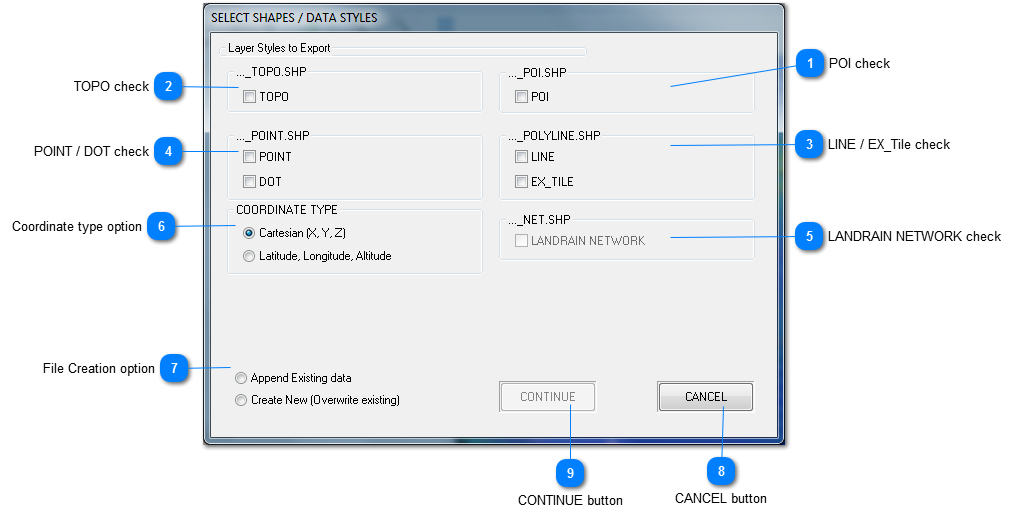
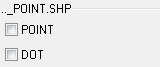
Therefore when you select a save file name in TileLogic Office it is used as a PREFIX for the file. For example, say your choice for a filename, again is "MAINNAME". [This will be used in the examples below]. In the graphic above, the frames indicate the filename's SUFFIX that will be appended to your selected filename. As an example, if the user checks the box in the upper left for "TOPO", and the checkbox "LINE" then these files will be created; MAINNAME_topo.shp, MAINNAME_topo.shx, MAINNAME_topo.dbf, MAINNAME_polyline.shp, MAINNAME_polyline.shx, MAINNAME_polyline.dbf.
A more thorough discussion of shapefles is outside the scope of this document, but it should be noted that most programs will be able to open these files and "overlay" each them as layers to create a comprehensive map.
POI check
If checked, will create a file named MAINNAME_POI. This file will consist only of data that was a POI, as point shape.
If a file with the prefix exists (like MAINNAME in the examples above), then you may choose to add to the data (append) or simply replace it (create new).